- Call Us Now : +91 933-658-5266
- Send Us Email : geovisioninfocom@gmail.com

Total Station Surveying
Total Station Surveying
Introduction
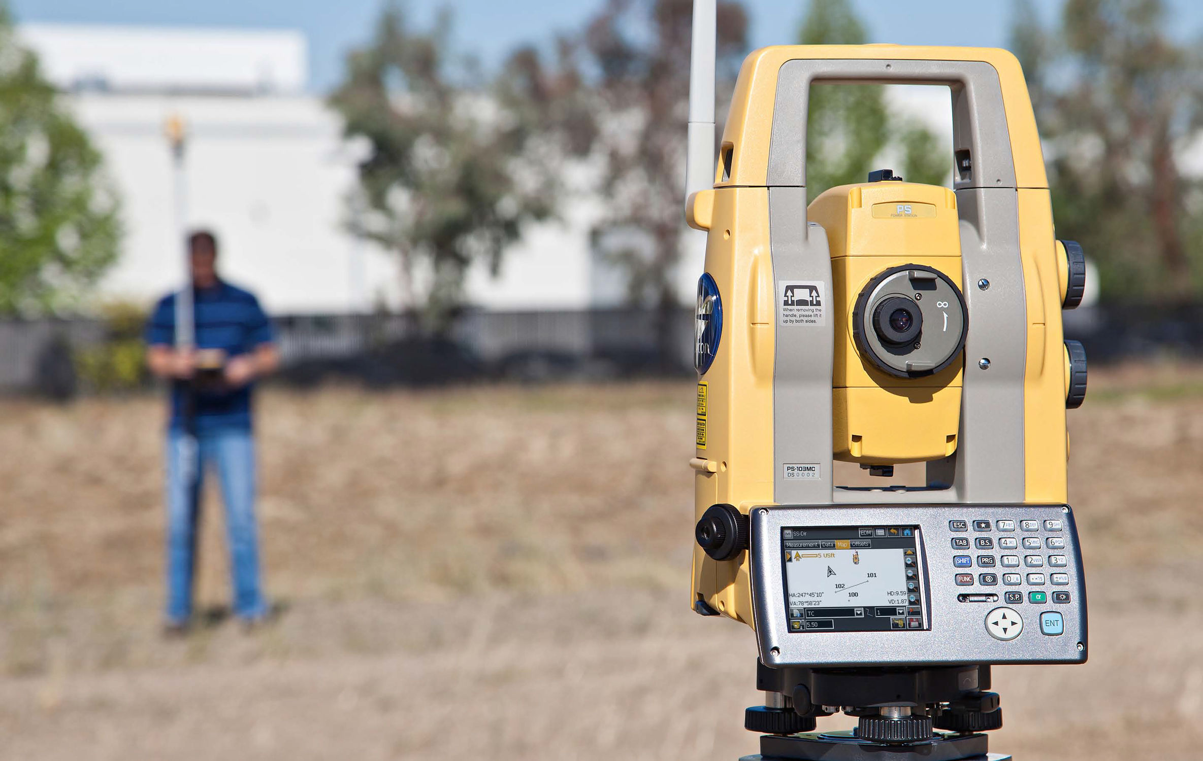
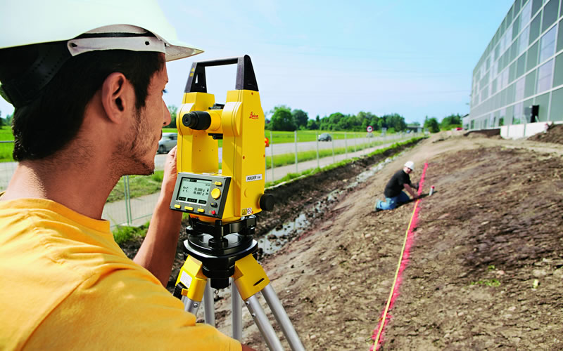
Total station surveying - defined as the use of electronic survey equipment used to perform horizontal and vertical measurements in reference to a grid system (e.g. UTM, mine grid).
Types of Total Station Surveying:
- 1- Slope Staking
- 2- Topographic surveys
- 3- Construction project layout
- building corners
- control and offset lines
- 4- Leveling
- 5- Traverse surveys and adjustments
- 6- Building Face Surveys


Advantages of Total Station Surveying
Relatively quick collection of information
Multiple surveys can be performed at one set-up location.
Easy to perform distance and horizontal measurements with simultaneous calculation of project coordinates (Northings, Eastings, and Elevations).
Layout of construction site quickly and efficiently.
Digital design data from CAD programs can be uploaded to data collector.
Daily survey information can also be quickly downloaded into CAD which eliminates data manipulation time required using conventional survey techniques.
Disadvantages of Total Station Surveying
Vertical elevation accuracy not as accurate as using conventional survey level and rod technique
Horizontal coordinates are calculated on a rectangular grid system. However, the real world should be based on a spheroid and rectangular coordinates must be transformed to geographic coordinates if projects are large scale. Examples: highways, large buildings, etc.
As with any computer-based application “Garbage in equals Garbage out”. However, in the case of inaccurate construction surveys “Garbage in equals lawsuits and contractors claims for extras.”